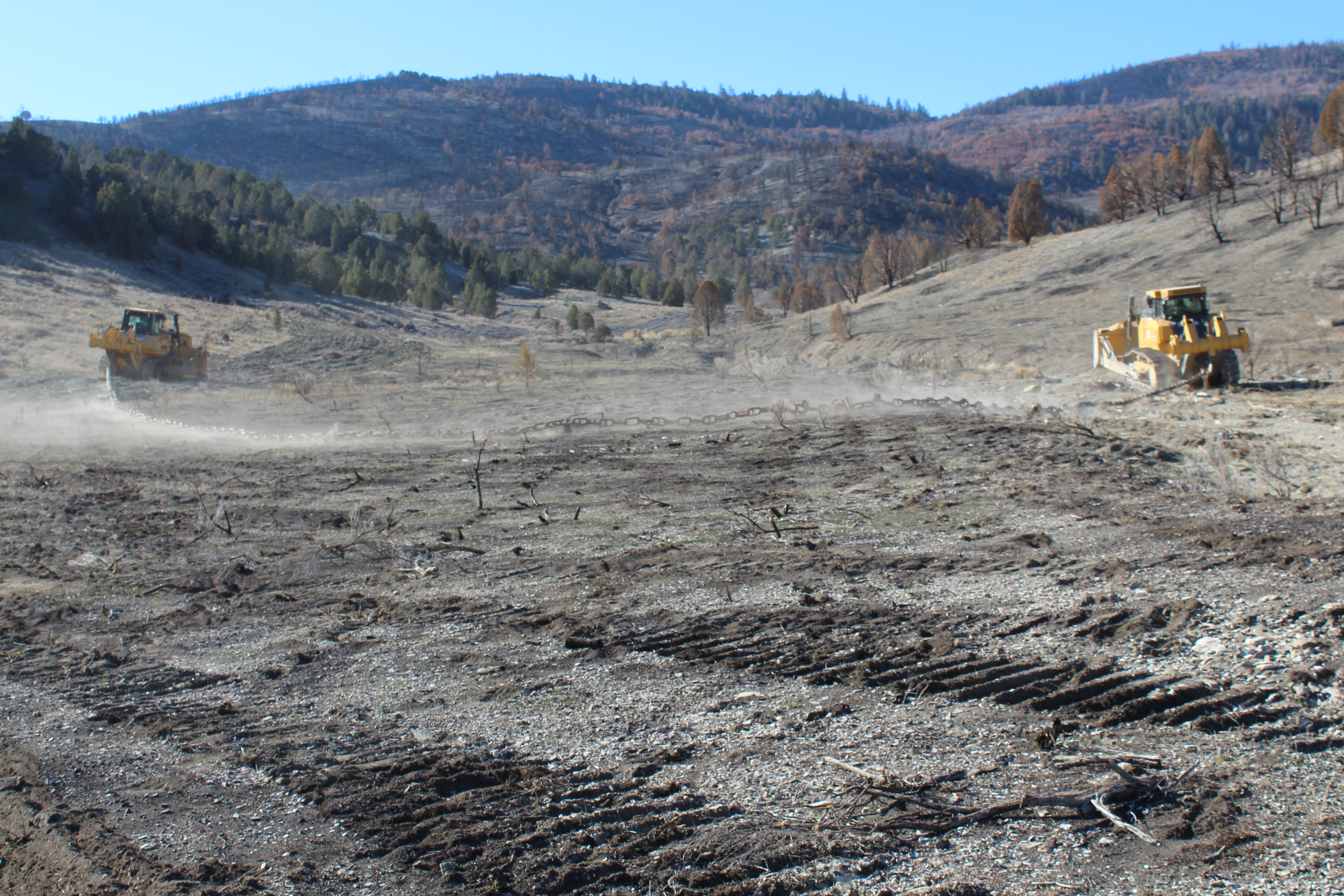
 | Image During | One way anchor chaining November 2018 | |
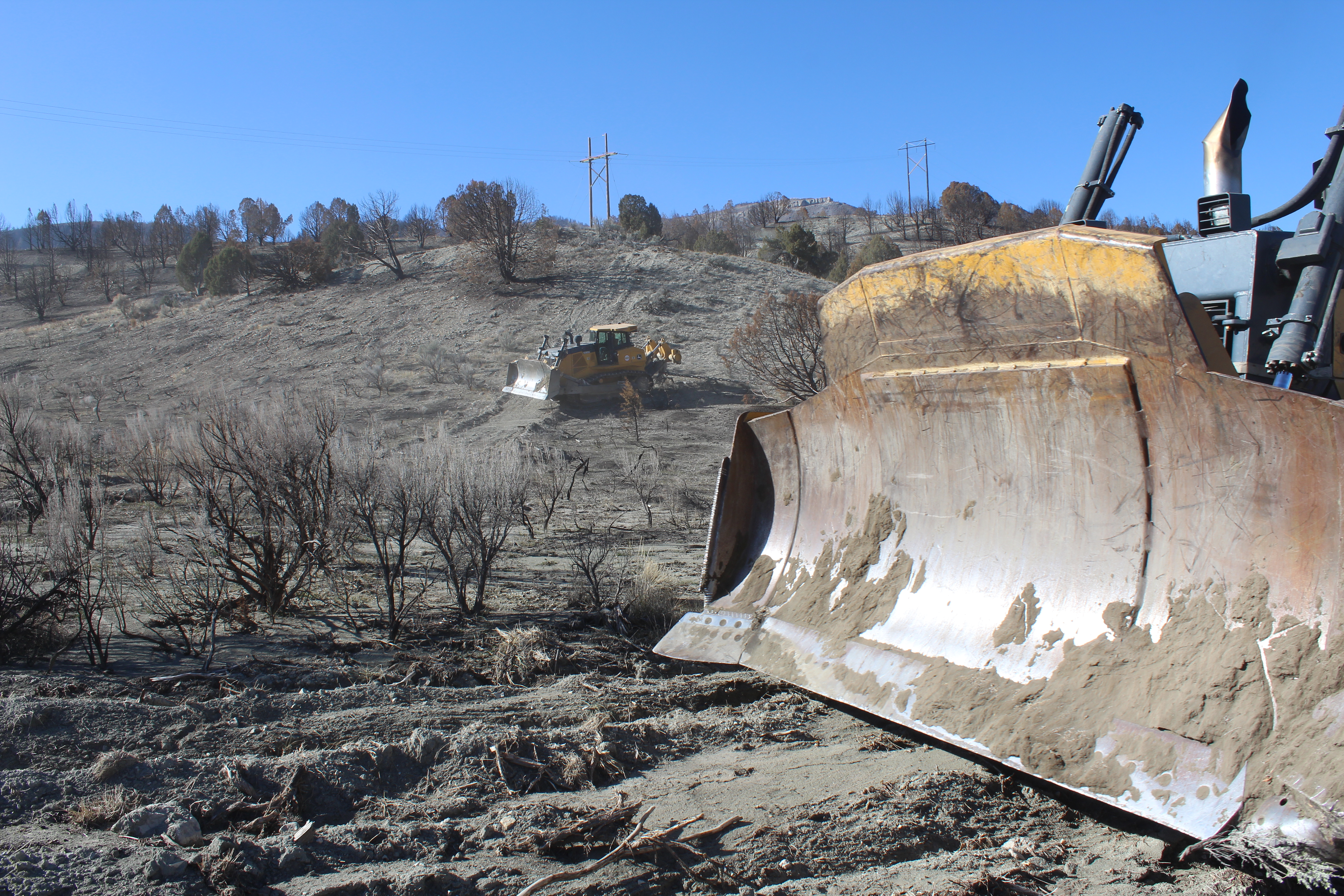 | Image During | One way chaining November 2018
| |
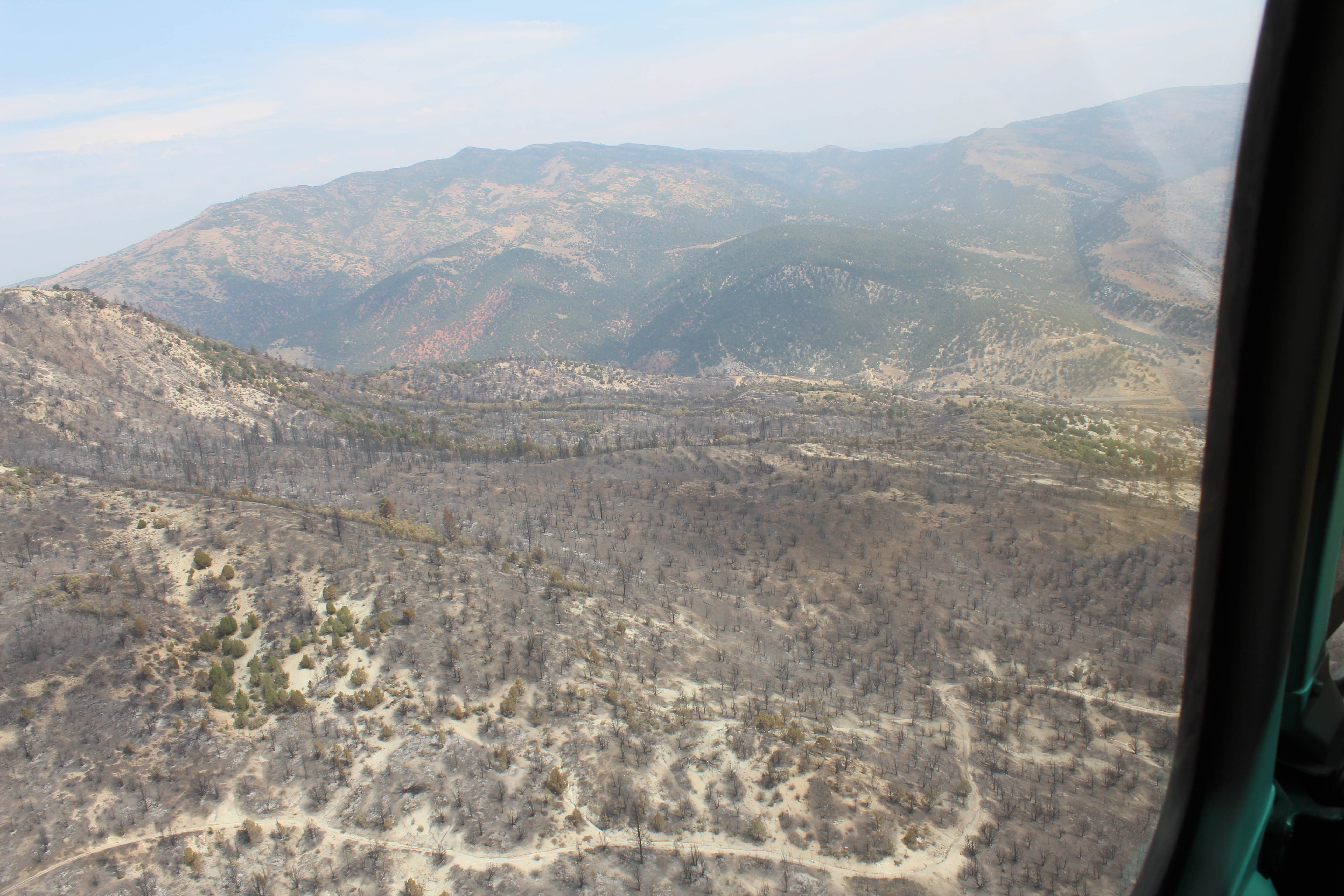 | Image Before | Aerial view of the west side of the Dairy Fork WMA looking north toward highway 6 | |
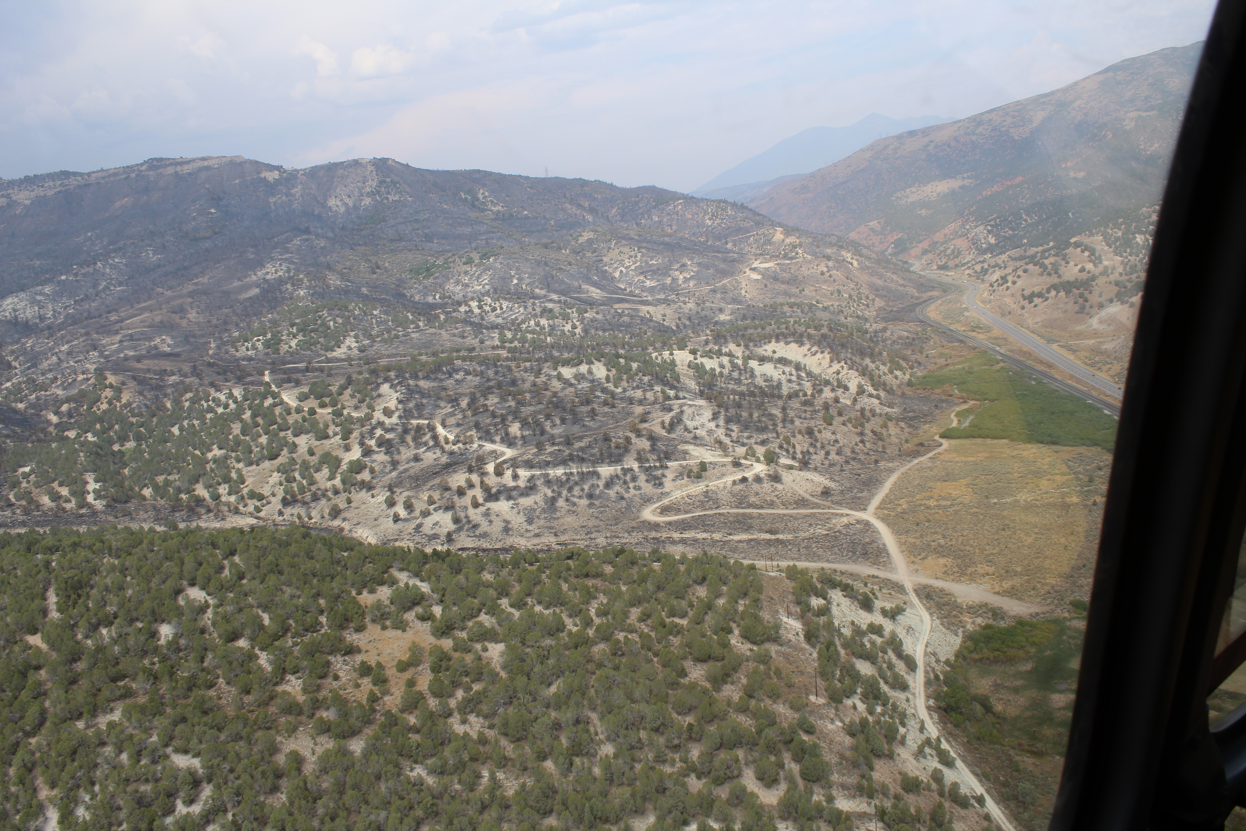 | Image Before | North end of the Dairy Fork WMA looking west down highway 6 | |
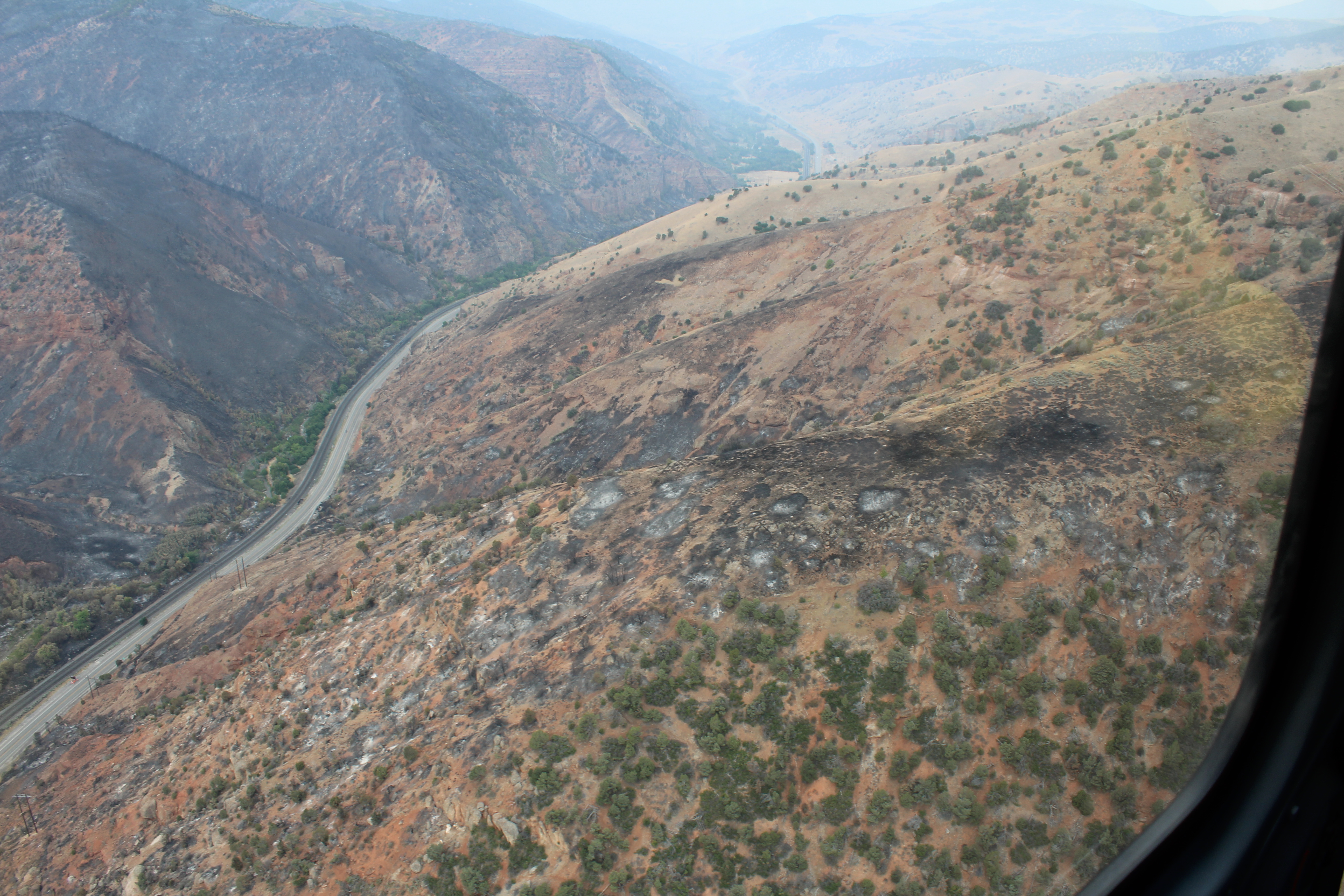 | Image Before | North side of highway 6 where fire jumped across but was stopped. | |
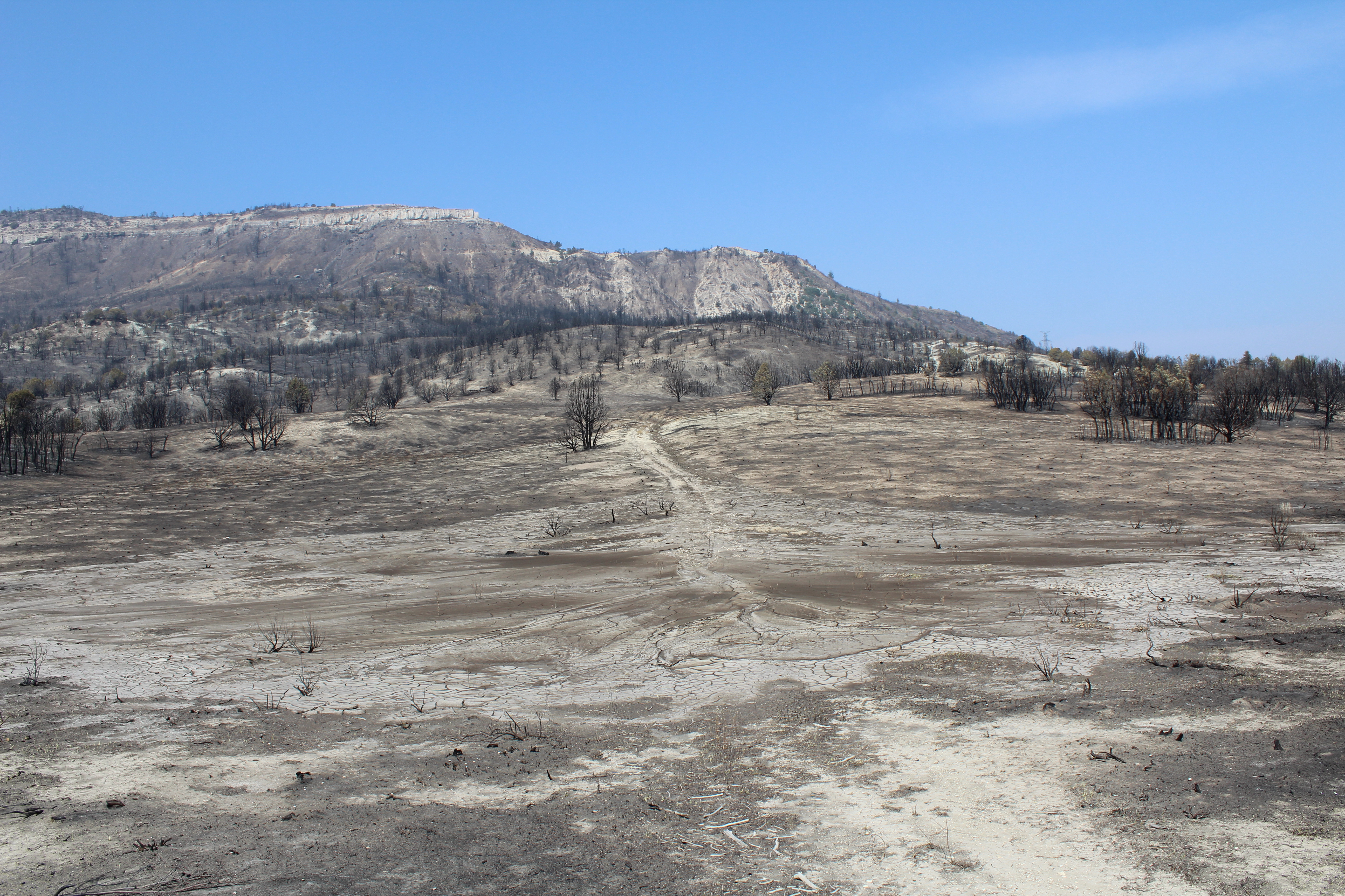 | Image Before | Dairy fork WMA hot burn area | |
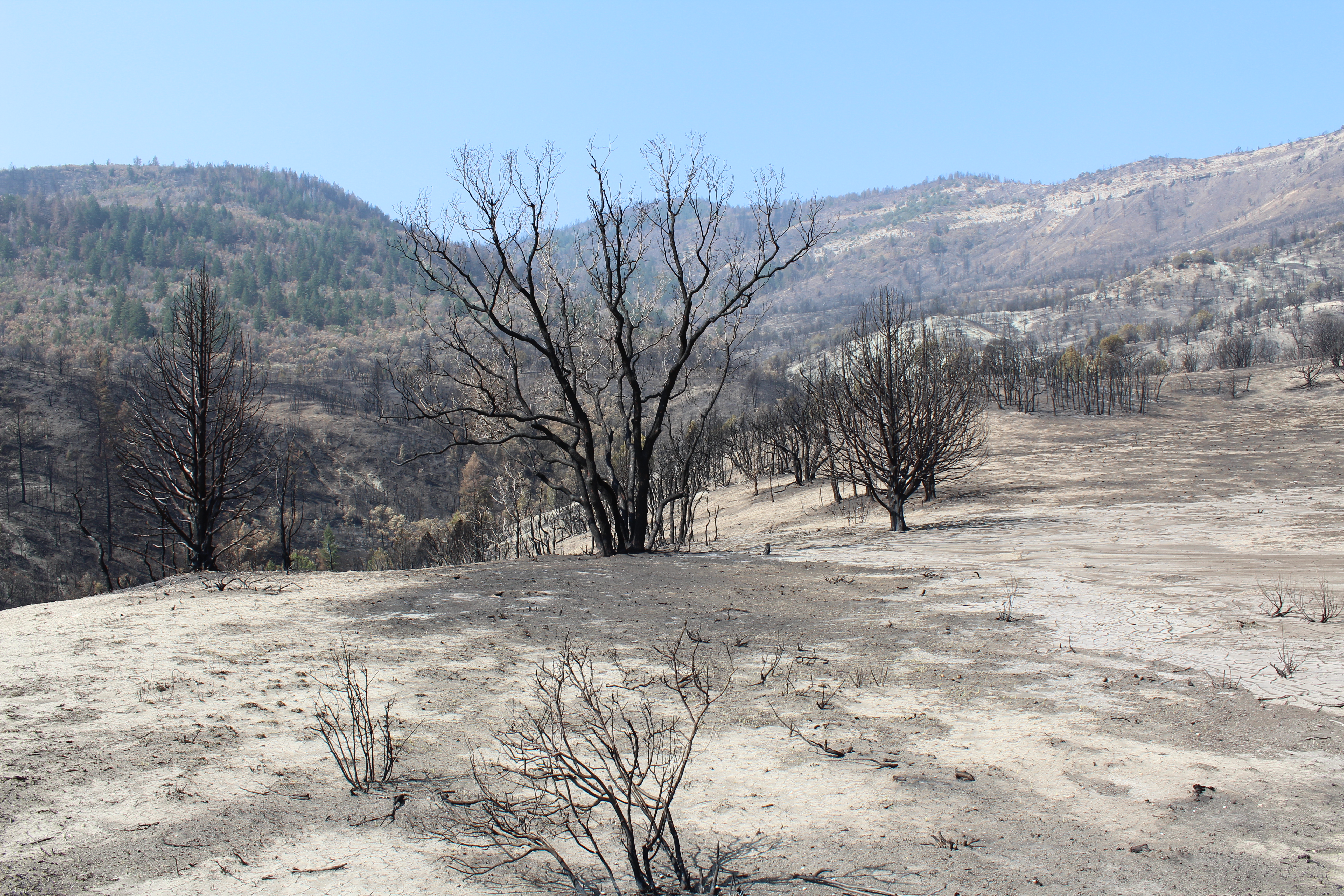 | Image Before | Dairy fork WMA looking southwest | |
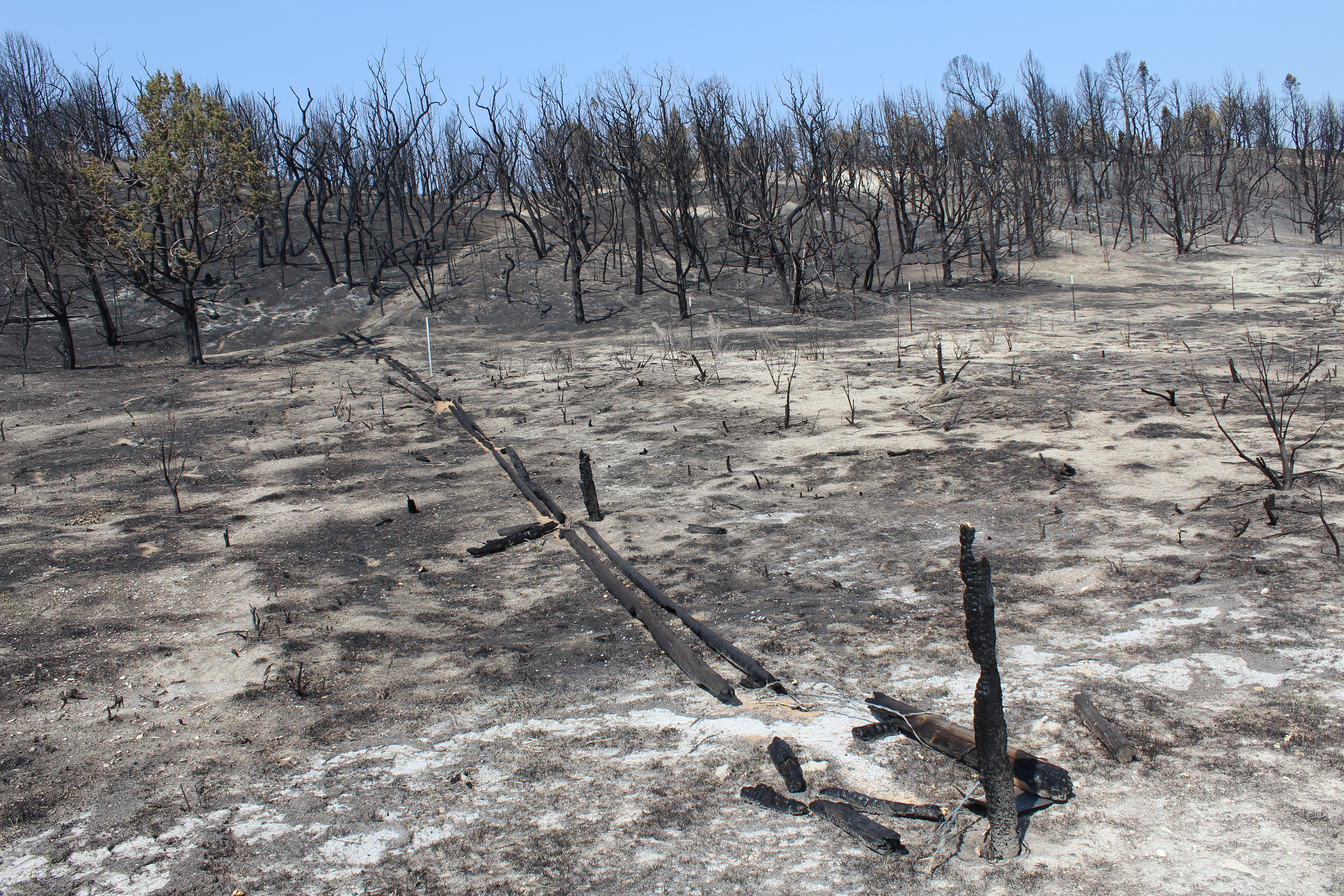 | Image Before | Dairy Fork WMA boundary fence | |
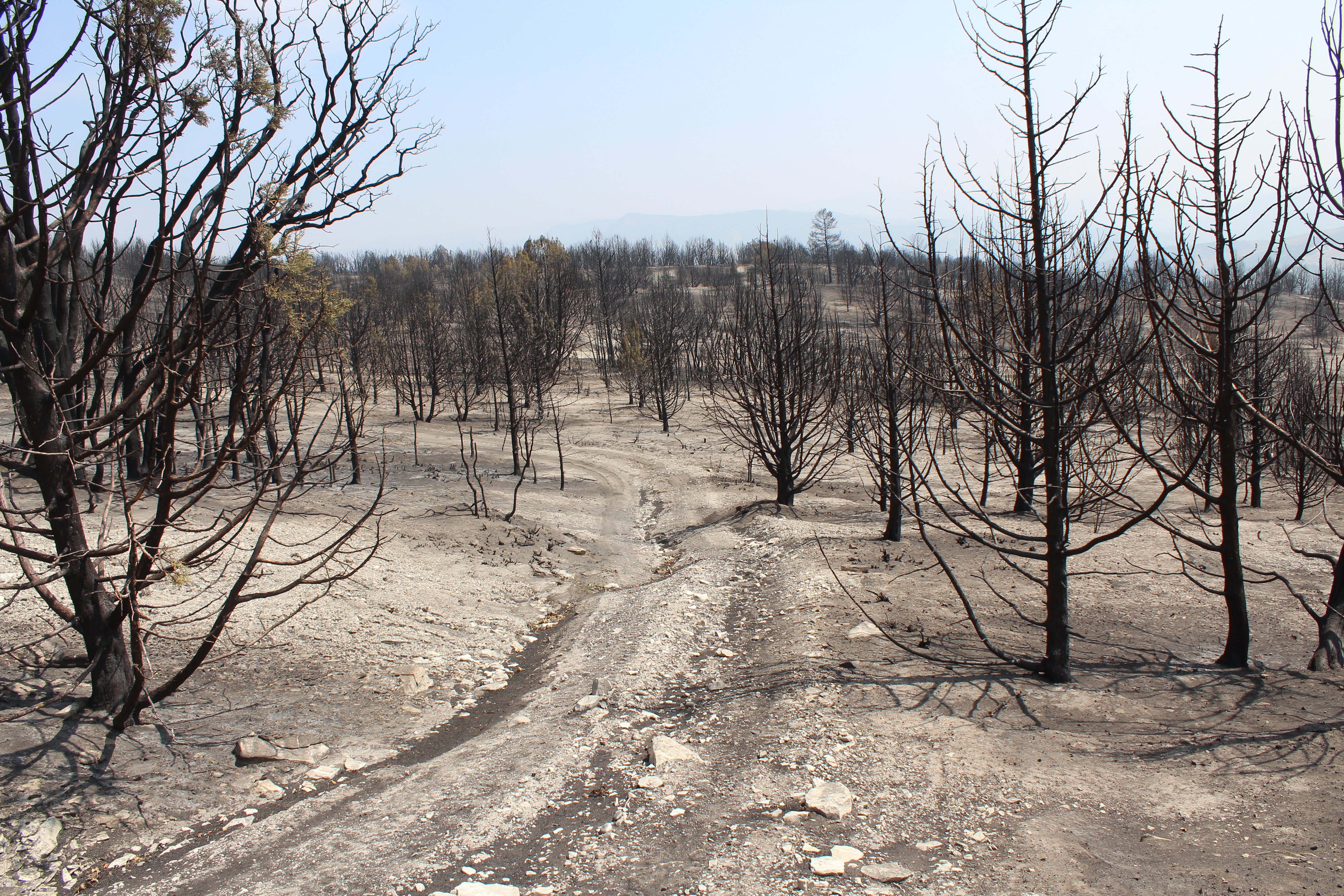 | Image Before | Dairy Fork WMA high severity burned area | |
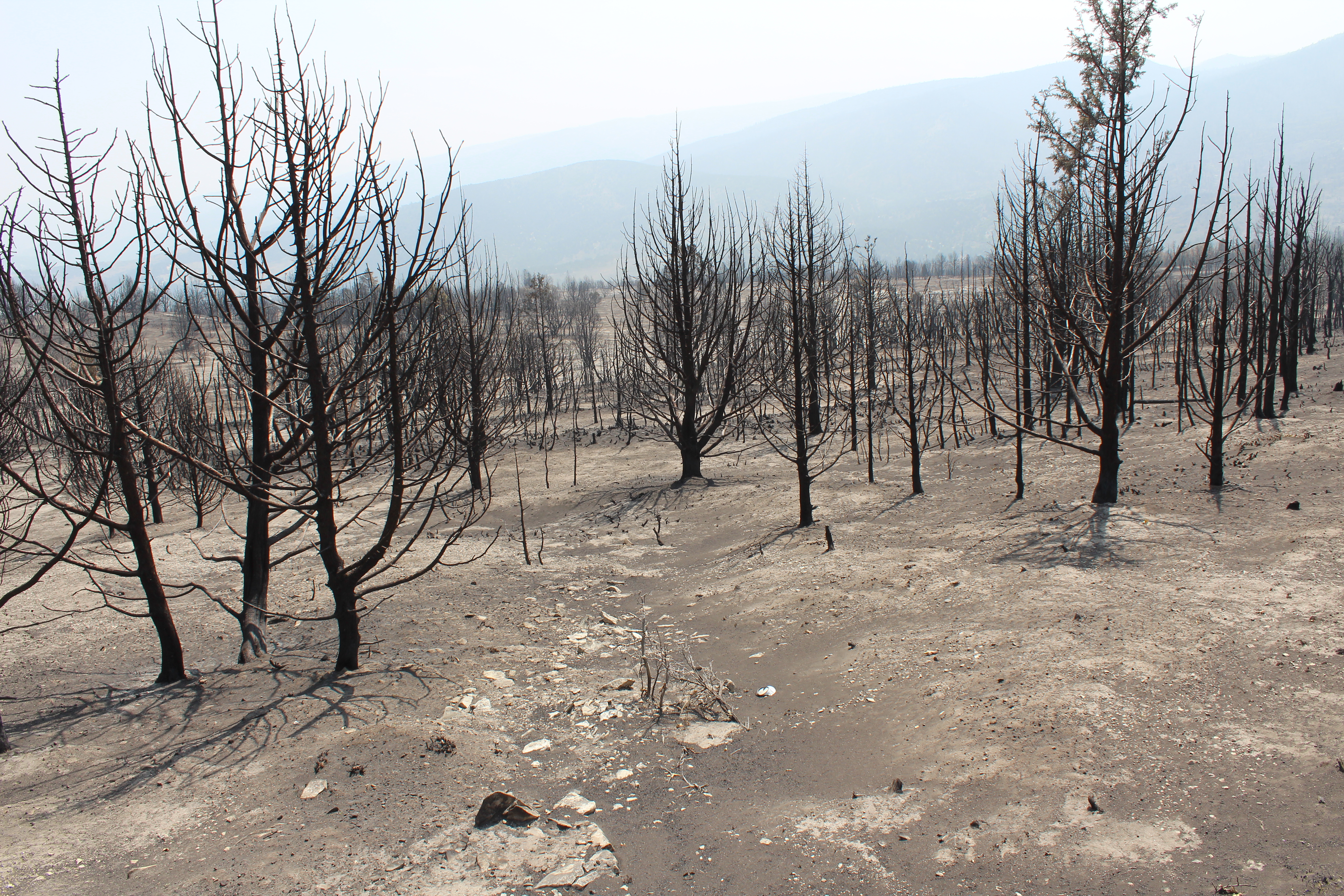 | Image Before | Dairy Fork WMA burned area | |
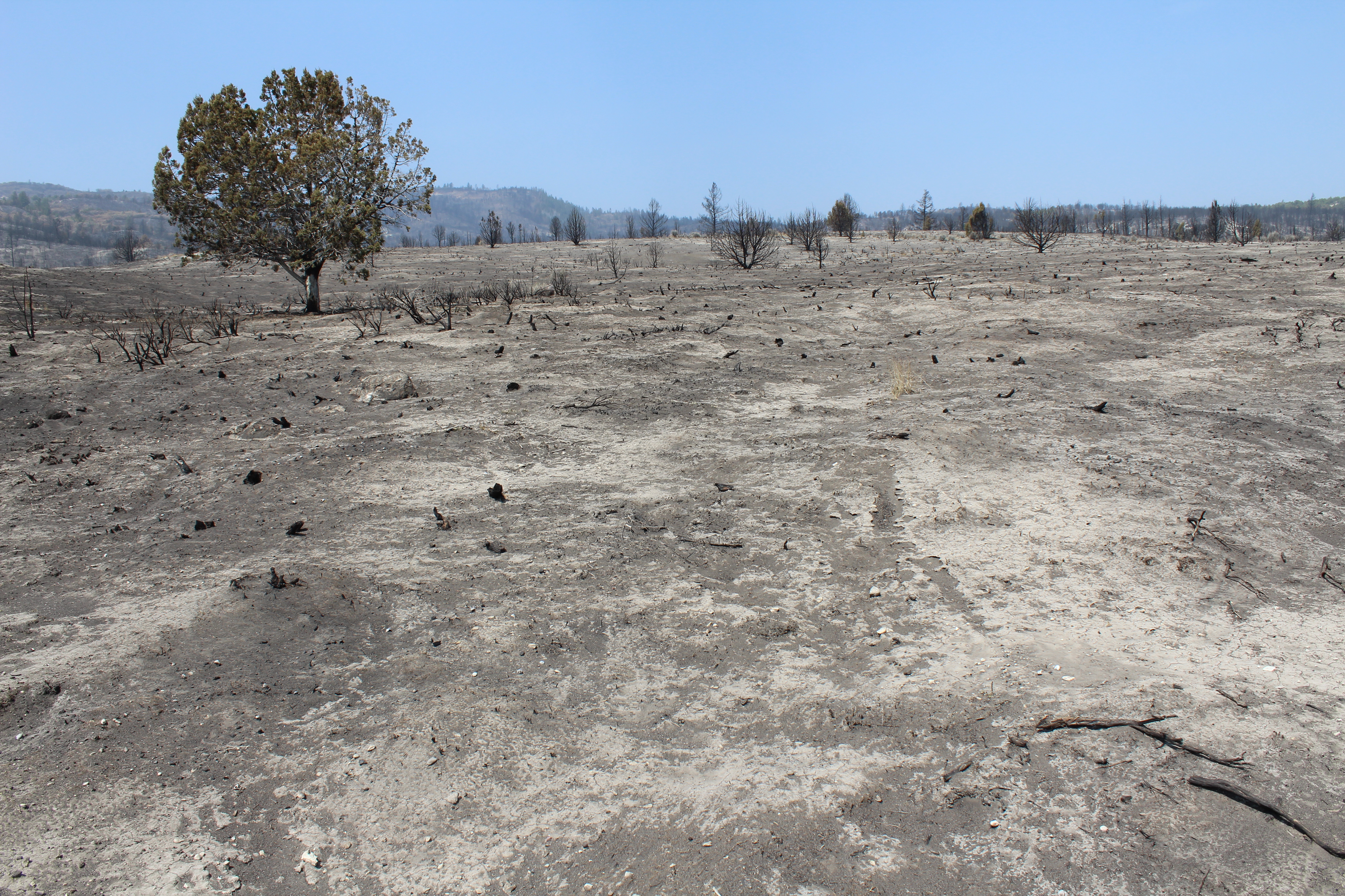 | Image Before | Sagebrush habitat prior to the fire | |
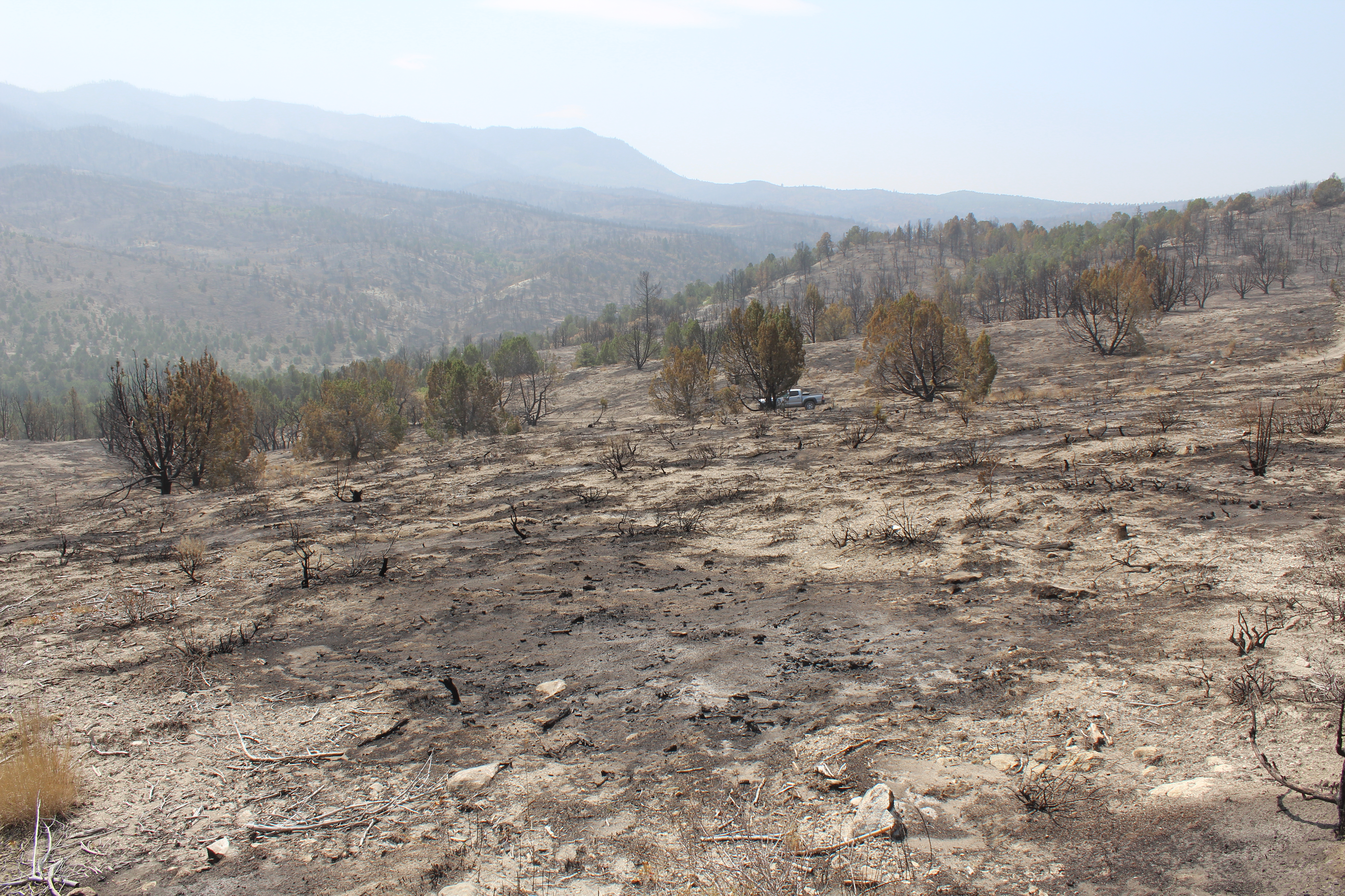 | Image Before | Sagebrush habitat before the fire looking southeast toward Forest Service property. | |
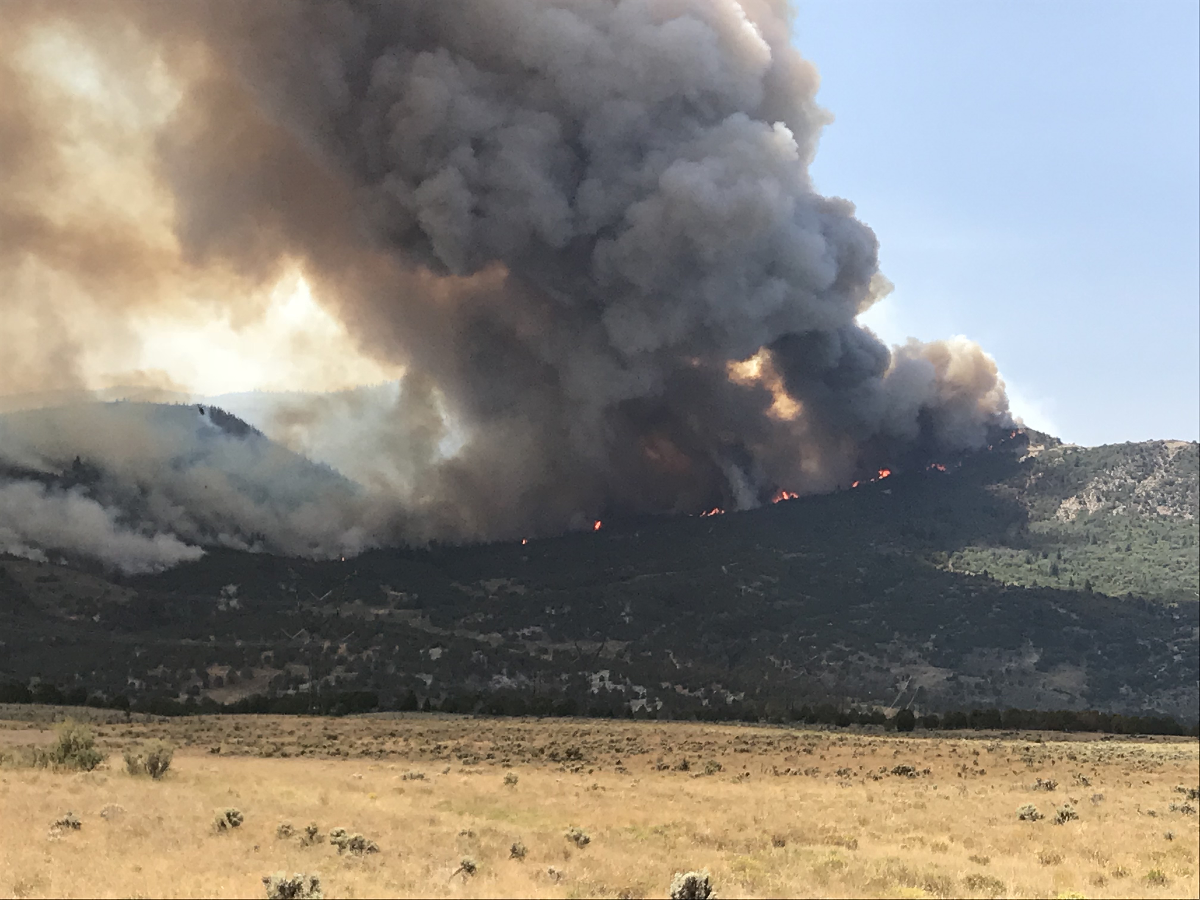 | Image Before | August 8th as fire burns north toward highway 6. Photo taken from the Sheep creek road looking south. | |
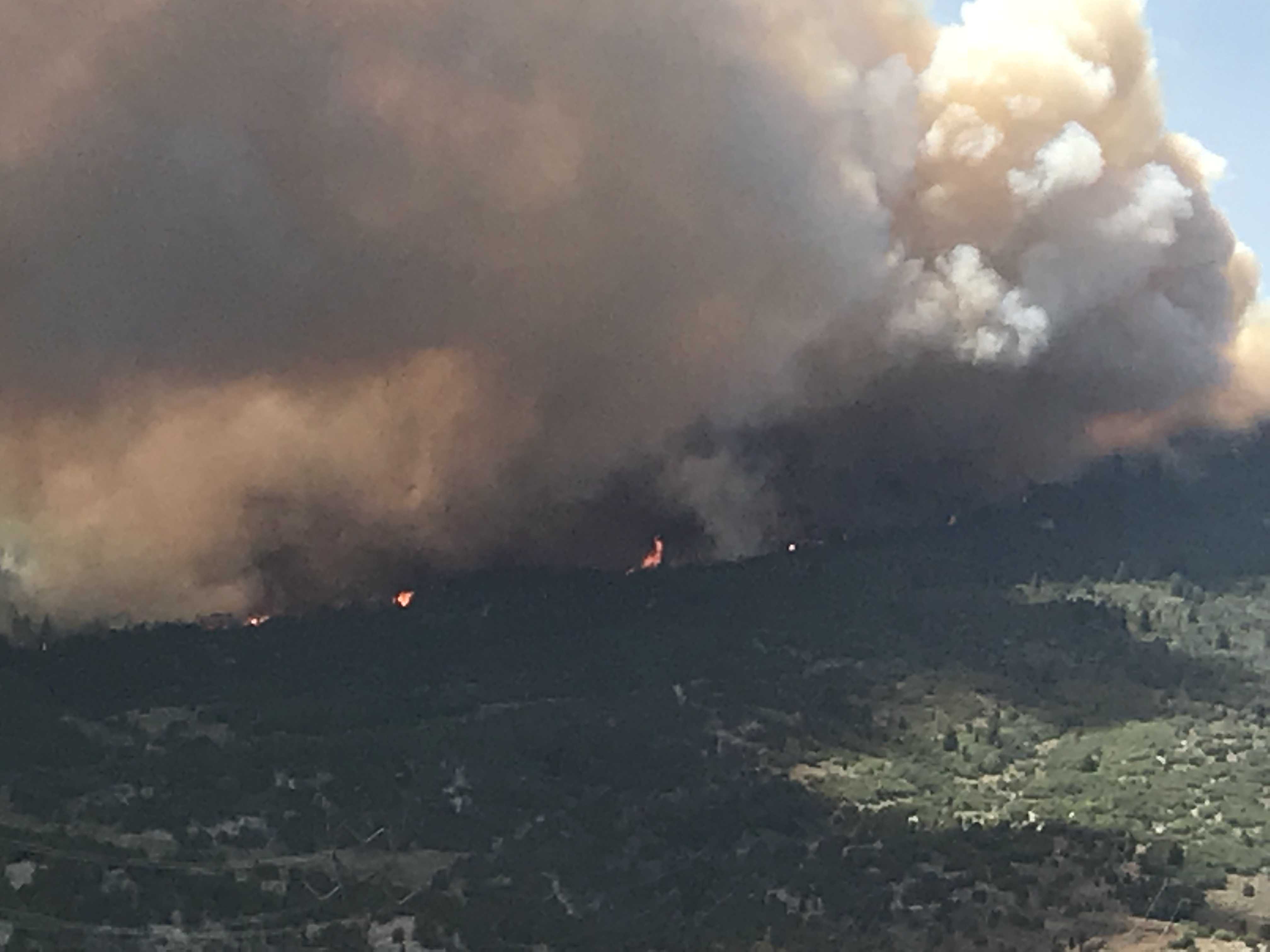 | Image Before | August 8th photo of fire burning north toward highway 6 taken from the Sheep creek road looking south. | |
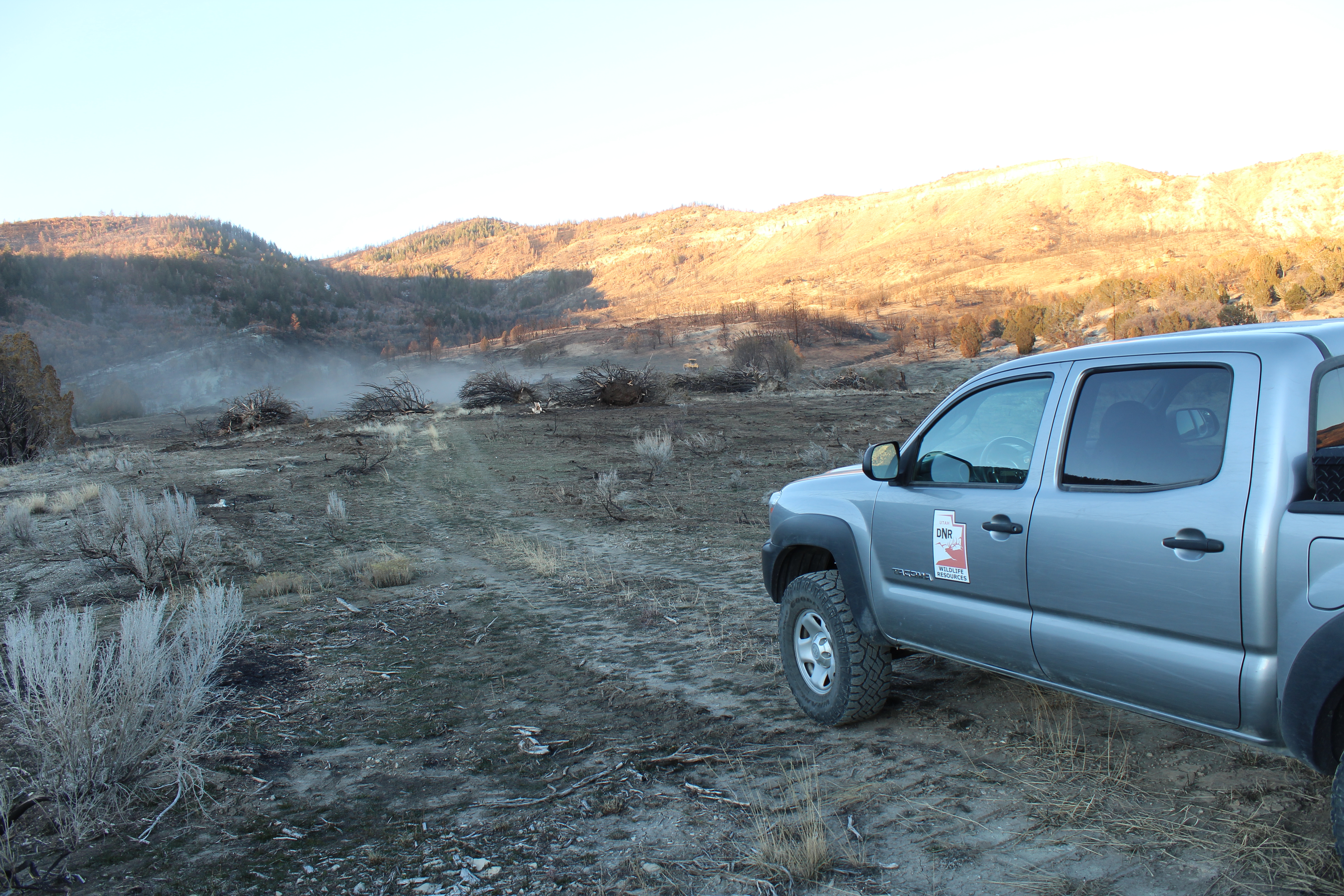 | Image During | One way chaining November 2018 | |
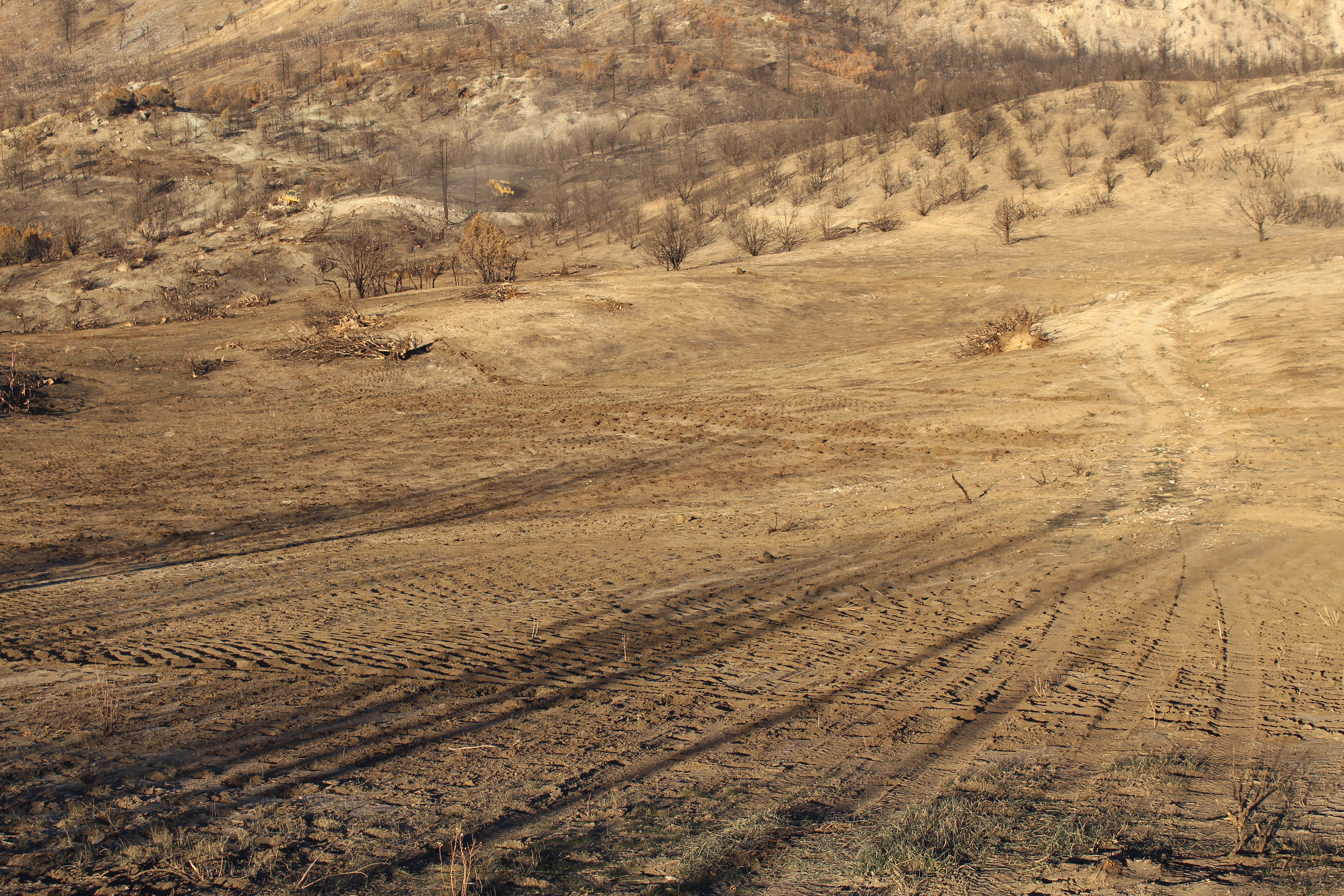 | Image During | one way chaining November 2018. Note chain action on soil. | |
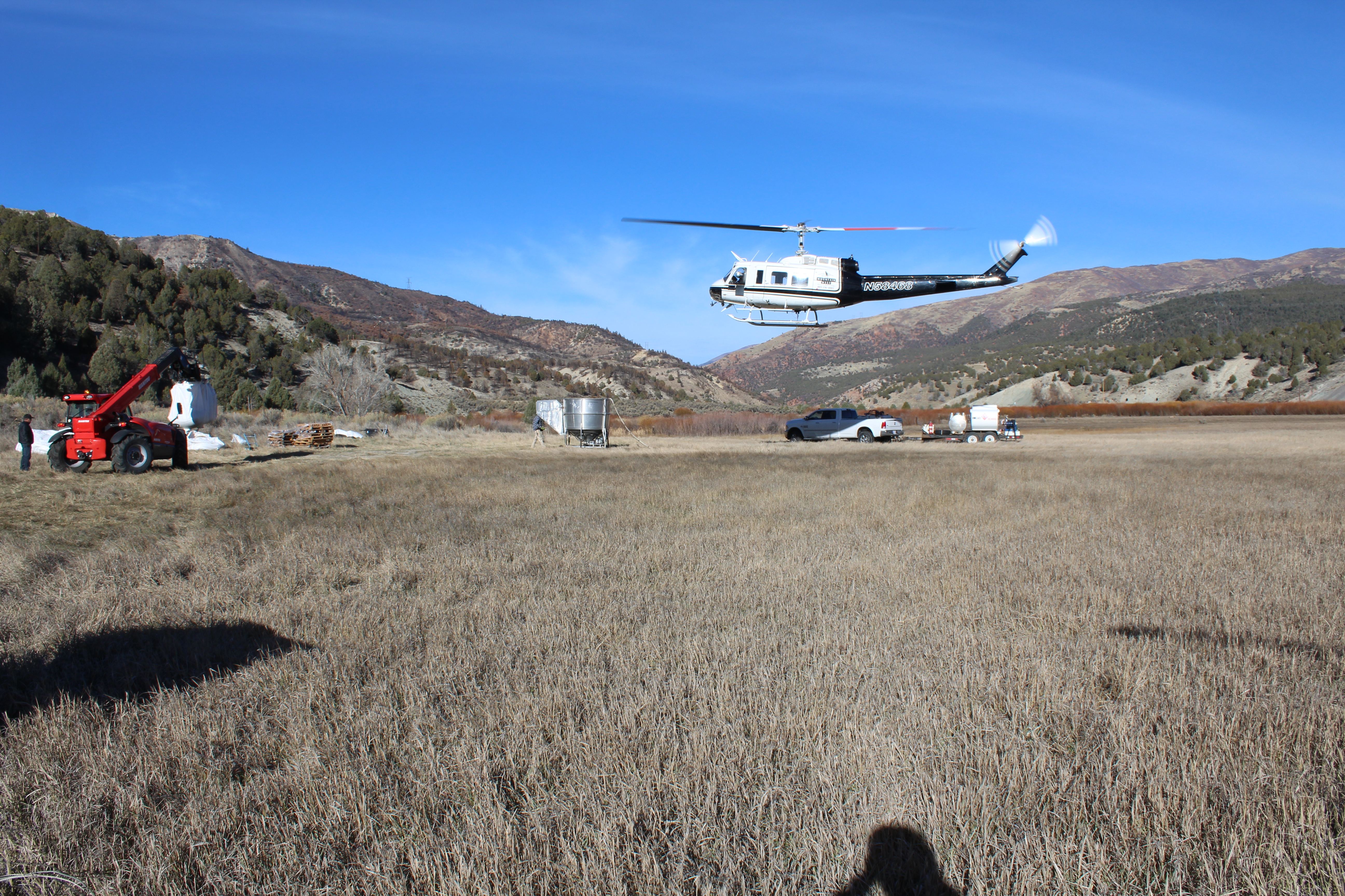 | Image During | Aerial seeding November 30th 2018 | |
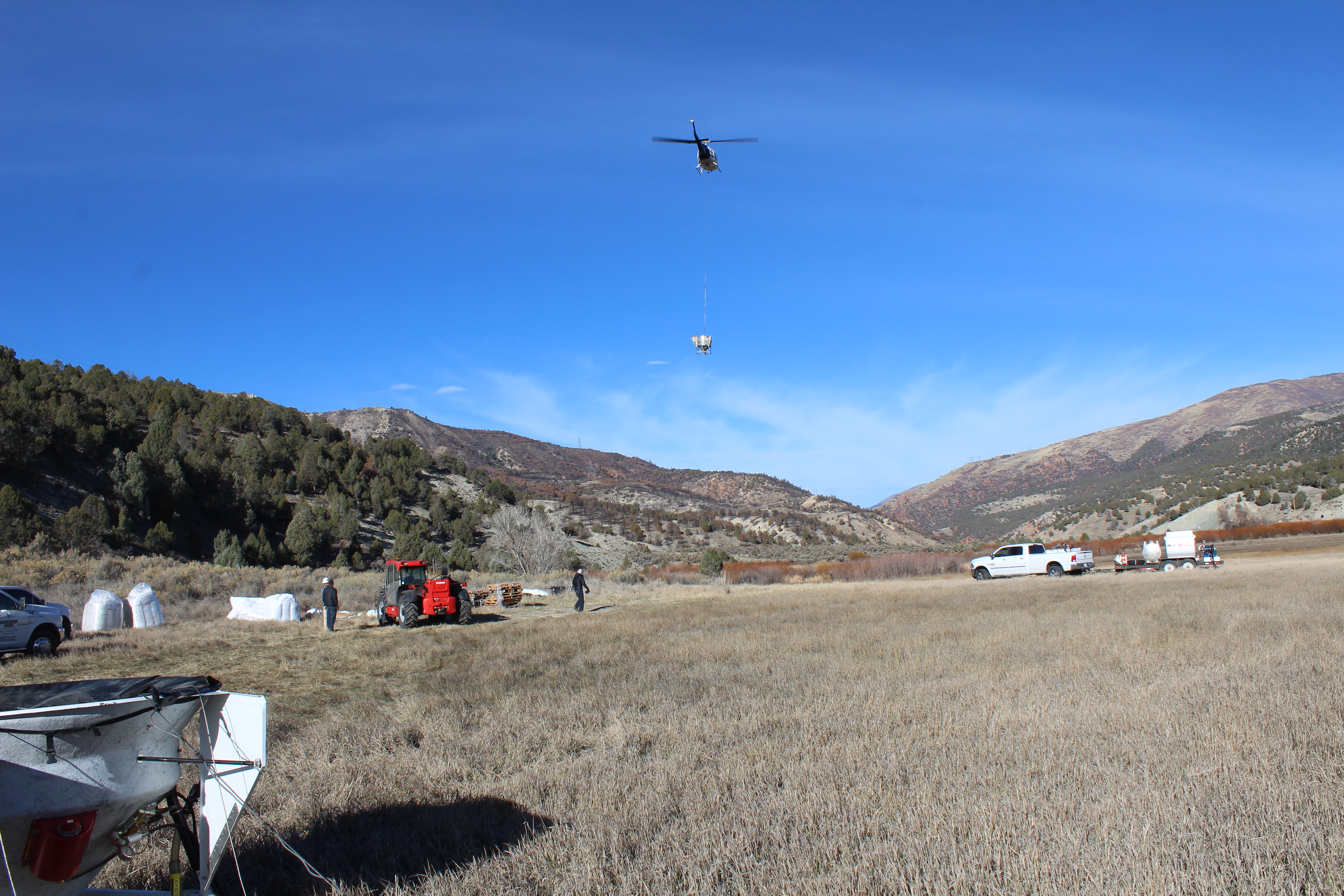 | Image During | Aerial seeding October 30th 2018 | |
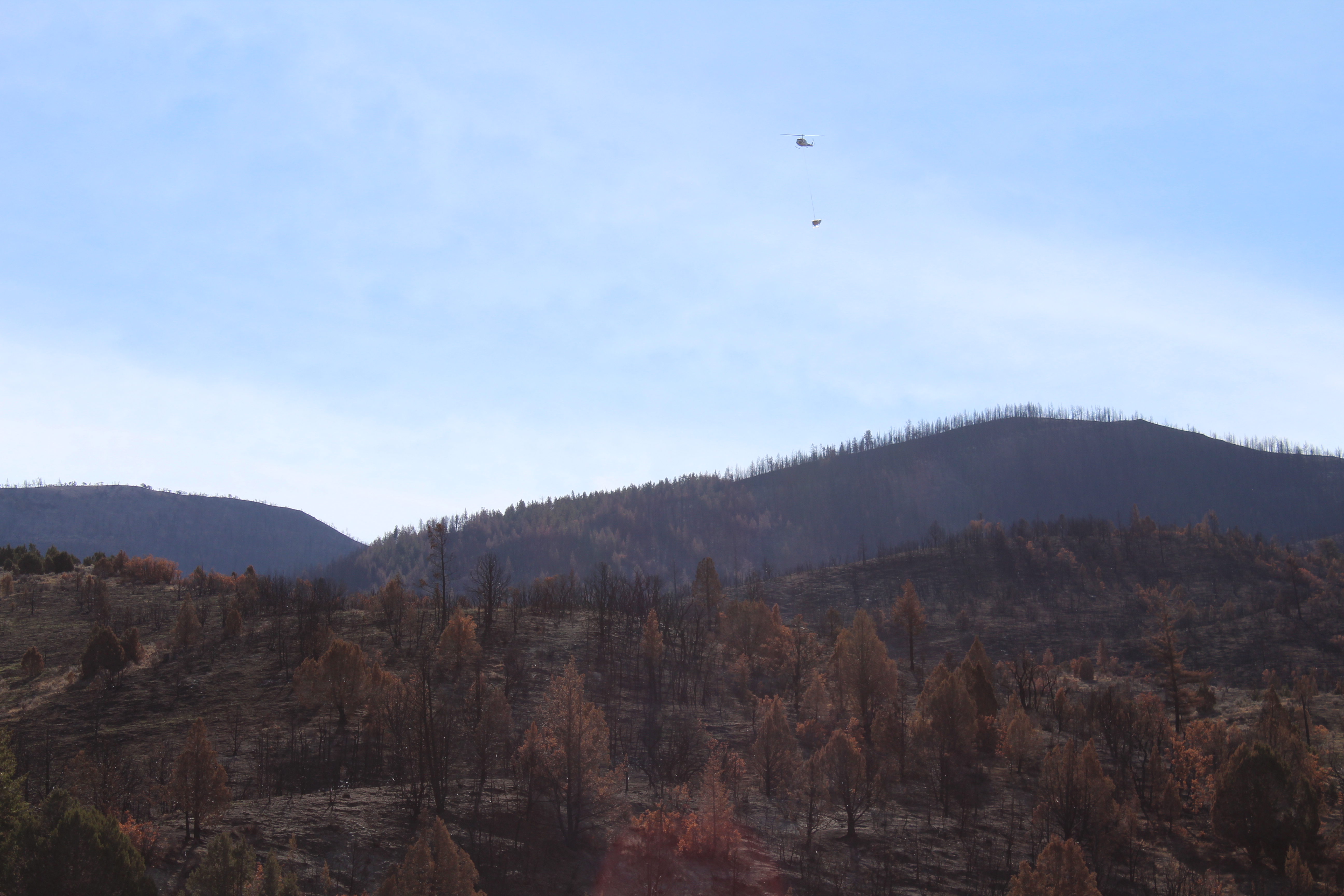 | Image During | Aerial seeding October 30th 2018 | |
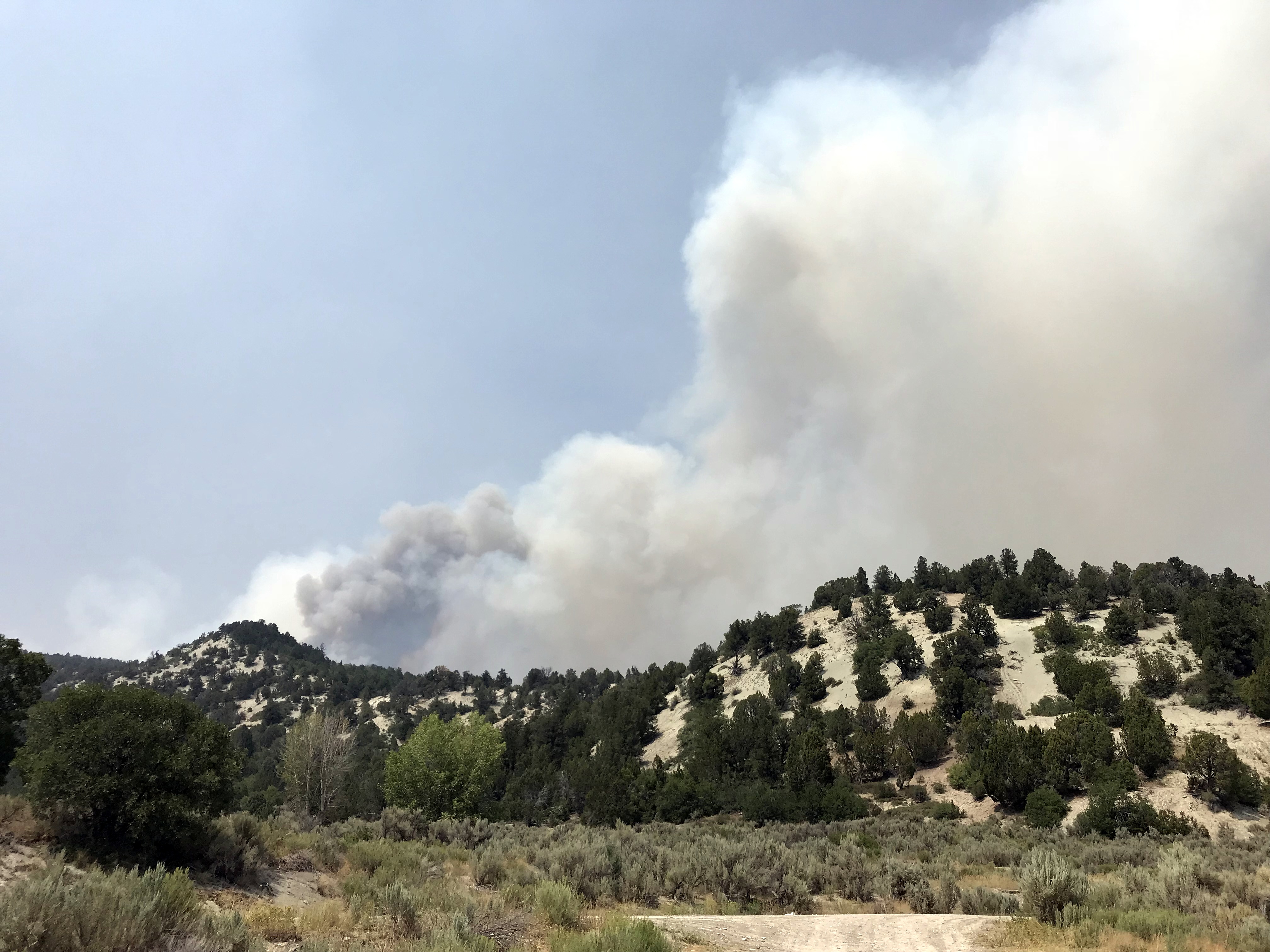 | Image Before | Cole Hollow fire started late on August 4th. This photo taken on August 5th 2018. Looking west from the south boundary of the Dairy Fork WMA near the Forest boundary. | |
 Saving...